Geographic-Aware Augmented Reality
What happens if the environment...
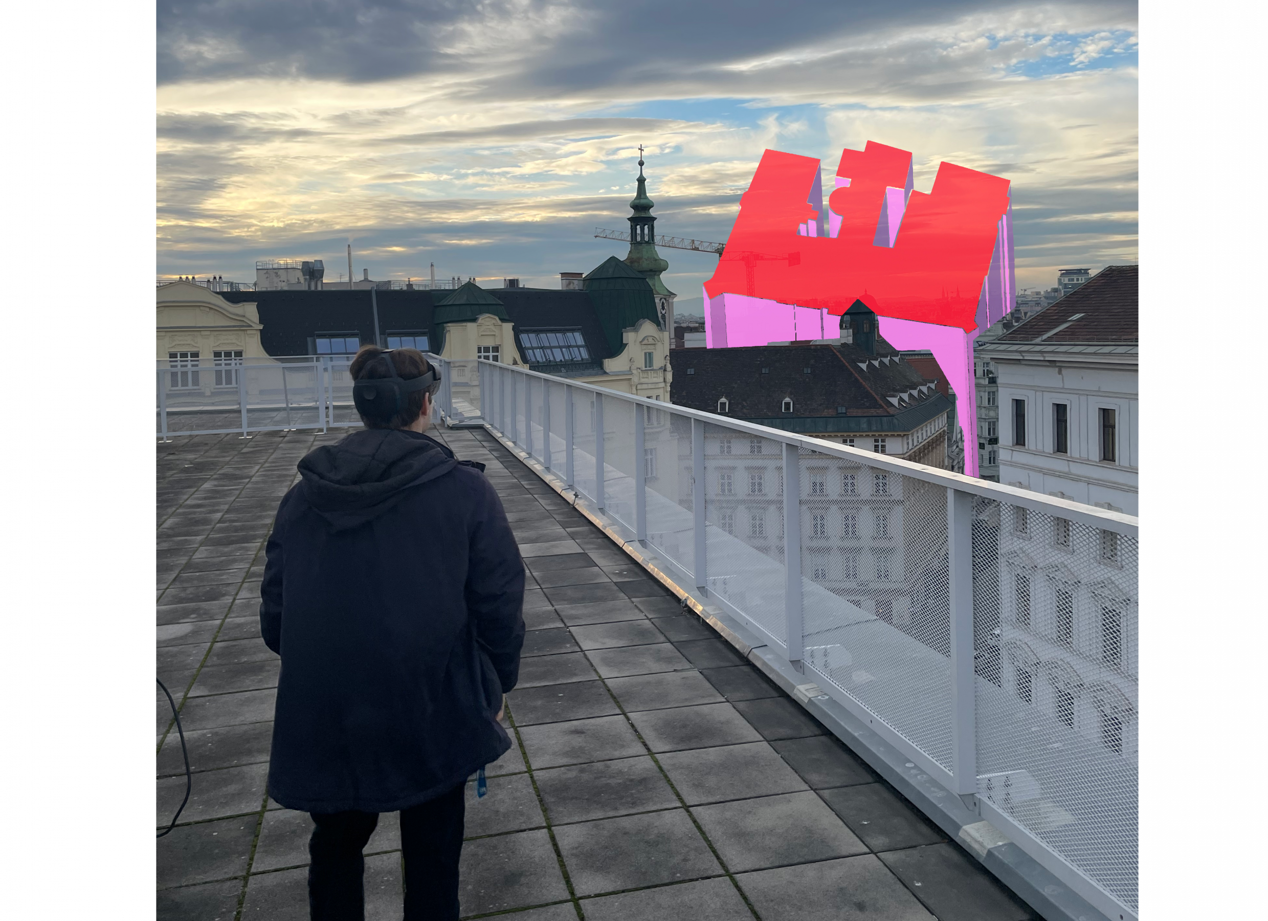
Our research focuses on Augmented Reality in outdoor environments. A key advancement of our lab is the fact that we can position geo-referenced digital objects at an accuracy of 5-10cm – irrespective of the current user position! To this end, we have developed a framework called GeoAR – it is open source and enables Augmented Reality which geographic-aware (see here for more)! Using this framework, digital objects are blending seamlessly with the real environment, no matter if they are 5, 50, or 500 meters away! We currently utilize the GeoAR framework to answer highly interdisciplinary research questions about the human-environment interaction of the future making HCI spatial (yes, it is as special as spatial is 🙂 )


...transforms into a three-dimensional display?
To name but a few of these questions: How can we use situated AR visualizations to make digital twin data accessible to citizens? What are the human factors of interacting with geo-referenced AR visualizations (e.g., explaining cultural heritage) at different distances beyond personal space? Can georeferenced AR visualizations nudge people towards climate-friendly behavior? How do citizens trust georeferenced AR visualizations? How can virtual information be added to the urban environment at different distances in a meaningful way? What information of the real space can be off-loaded to the virtual space and adjusted to specific user contexts? To answer these questions, we use a range of video-based (Apple Vision Pro) and optical see-through Augmented Reality devices (Microsoft HoloLens 1 and 2) as well as purely VR-based devices for indoor prototye testing (HTC Vive).
Selected Publications
GeoAR: a calibration method for Geographic-Aware Augmented Reality
Galvão, M. L., Fogliaroni, P., Giannopoulos, I., Navratil, G., Kattenbeck, M., & Alinaghi, N. (2024)
International Journal of Geographical Information Science, 38(9), 1800–1826
BeeAR: augmented reality beeline navigation for spatial knowledge acquisition
Mazurkiewicz, B., Galvão, M. D. L., & Giannopoulos, I. (2023)
Proceedings of the ACM on Human-Computer Interaction, 7(MHCI), 1-17
Geographic-Aware Augmented Reality for VGI
Fogliaroni, P., Mazurkiewicz, B., Kattenbeck, M., & Giannopoulos, I. (2019)
Advances in Cartography and GIScience of the ICA, 2, 1–9
Are you a student? Take a look at what you can achieve with us
Former students (in alphabetical order)
Sophie Herrmann M.Sc.: During her master’s thesis, Sophie found that 3D object detection algorithms are slightly more accurate, but take 10 times longer to process than 2D algorithms. For this analysis, she created a dataset that is comparable between 2D and 3D using an AR HMD.

Kristina Wilflingseder B.Sc.: In her bachelor’s thesis, Kristina replicated our group’s GeoAR study to investigate the calibration precision that can be reached using a common smartphone instead of a high-end antenna. She found an average precision of ~2m.

Selected Research Projects
ZOE (2025-2027)
“Zenith Outdoor/Indoor Experience for Cultural Tours with AR technology and 3D platform (ZOE)” is a transnational ERASMUS+ project funded by the European Commision. ZOE aims to enhance cultural learning by merging different digital tools, including Augmented Reality glasses and customized navigation applications, to create a novel way of experiencing outdoor cultural heritage (ranging from buildings and statues to street art or ensembles like parks) that is more engaging and inviting for lifelong learning. Our lab is leading the work package dealing with outdoor AR elements.

3D-GIS-AR (2018-2019)

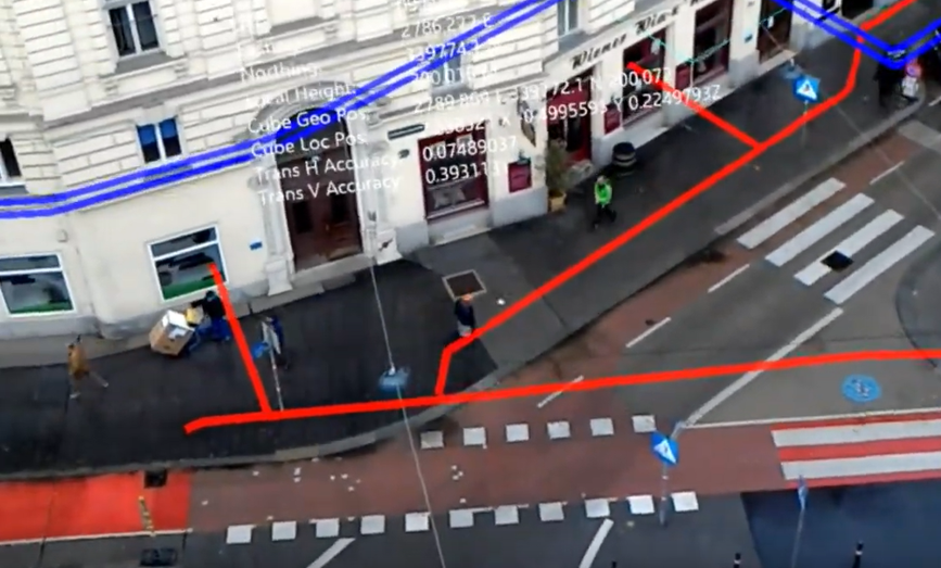
The aim of this project was to develop two augmented reality (AR) applications capable of visualizing the 3-dimensional geodata of Wiener Netze’s underground infrastructure in-situ.
