GIScience in XMo
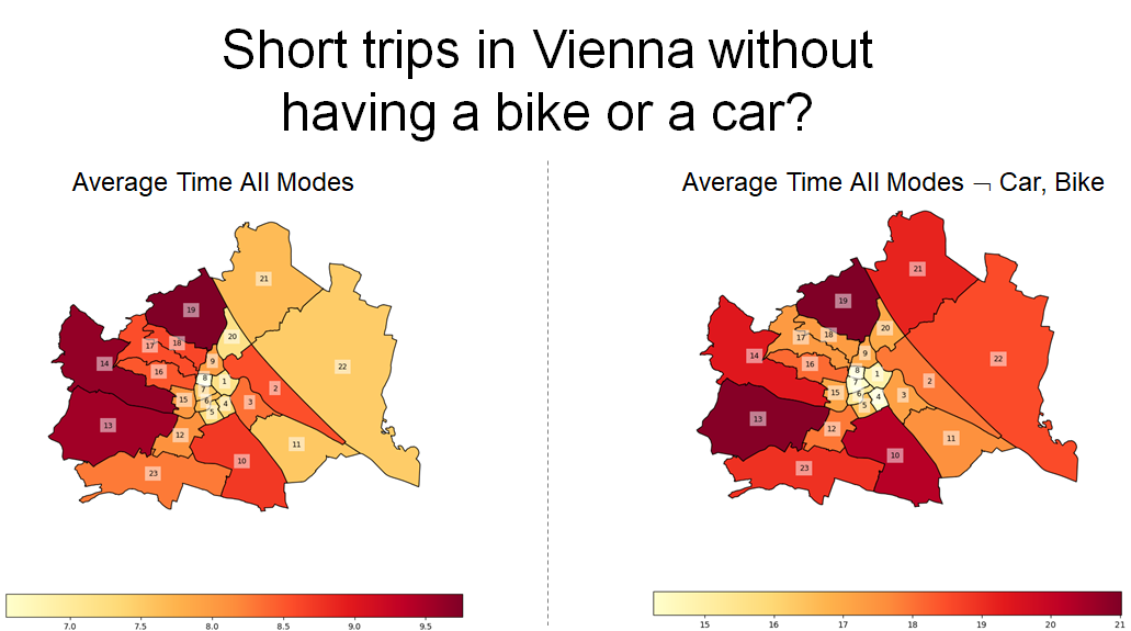
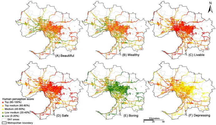
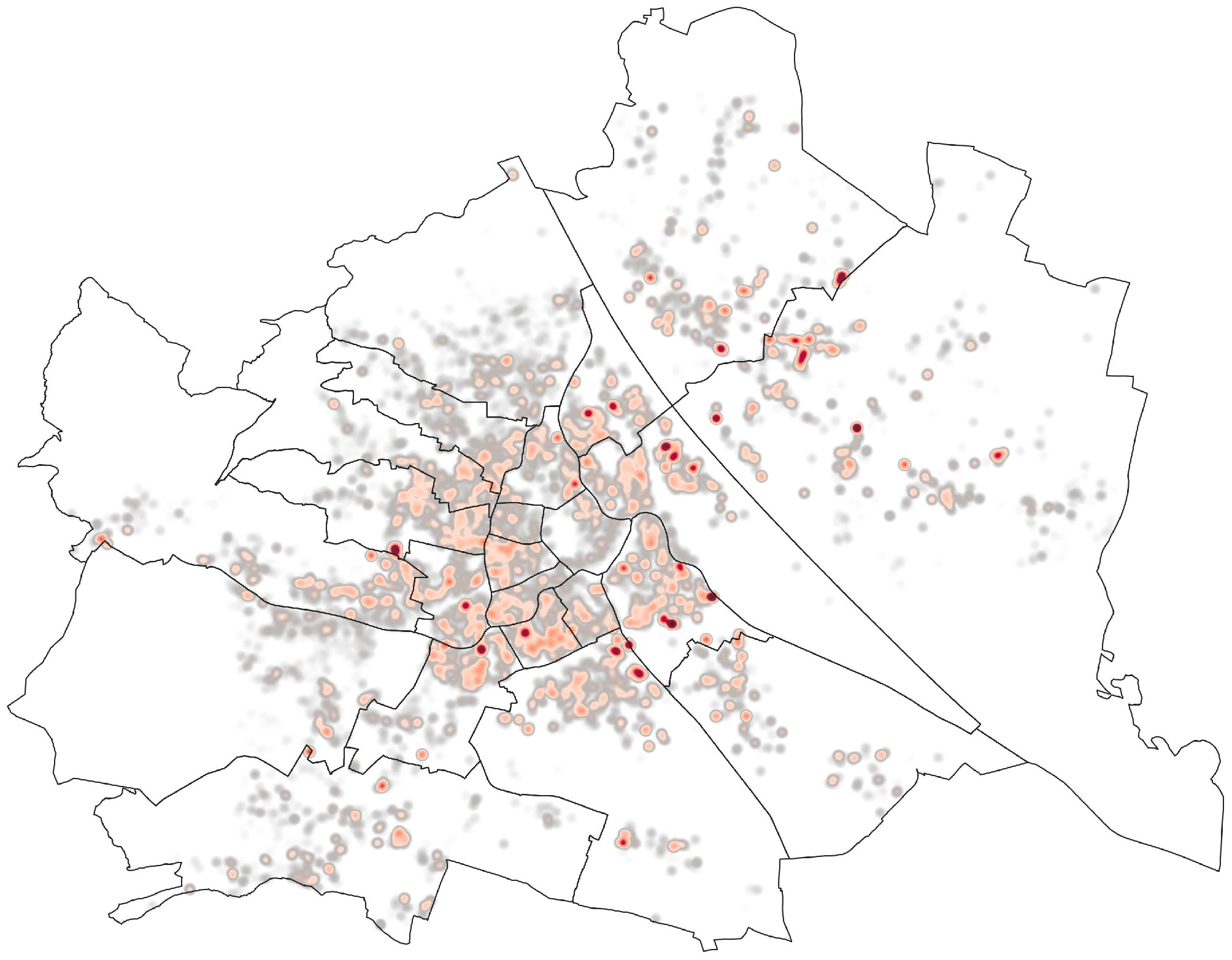
Our research leverages Geographic Information Science to decode complex spatial dynamics within urban landscapes. By integrating geographic data with pressing urban issues, we aim to uncover insights that drive innovative solutions for city planning and mobility.
How Is the Mobility Research Geographically Distributed?
The XMo Lab approaches mobility research from a geographic perspective, mapping how urban mobility has been studied around the world over the past 25 years. By analyzing where research is produced, and which cities are most often examined, we aim to uncover patterns of dominance, regional focus, and overlooked areas. This perspective can reveal geographic gaps and biases in current mobility knowledge, offering fresh insights into how the global research landscape shapes our understanding of urban movement.

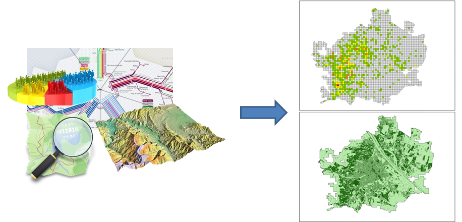
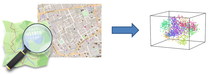
UrbanCore
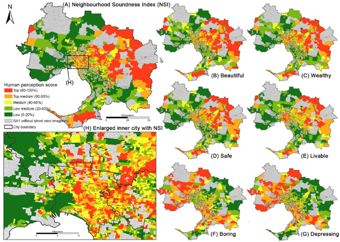
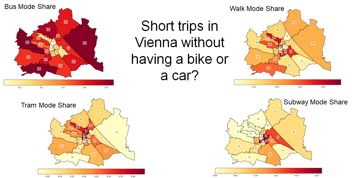
UrbanCore serves as a transformative tool, harnessing open access data to generate actionable insights, particularly for AI applications. By selecting a specific area, users can access detailed environmental features that illuminate various facets of the urban environment, from structural complexity to public transportation networks and points of interest. This innovative approach empowers researchers and planners to make informed decisions that enhance urban living.