Spatial Interaction
What we are working on
Interacting with information...
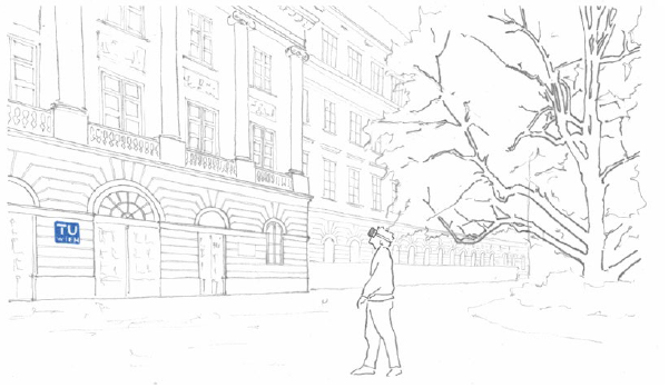
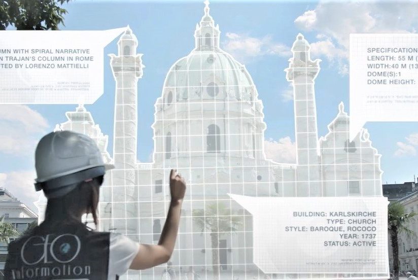
Currently, an increasing amount of data about our world is being collected and stored, but this data is often inaccessible to citizens. Geographic-aware Augmented Reality offers great potential for making data and its insights available to everyone. Imagine a city where information is revealed simply by looking at it: the air quality around you, urban heat islands, or the correct entrance to a hospital… the possibilities are endless. To make this vision a reality, we need to investigate how to design intuitive interactions with (spatial) data in outdoor spaces and how these interactions might affect different stakeholders.
... where it matters!
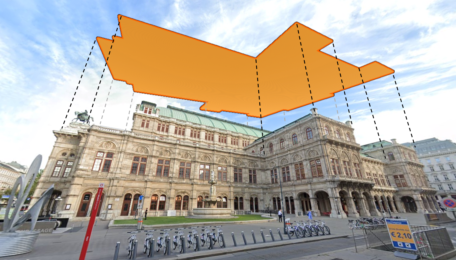
Moving data from the computer screen to the real world has many implications. To name one of them, humans perceive the real world in an egocentric perspective, instead of the allocentric, bird-eye perspective that you are used to from Google maps on your phone. While this can be a benefit in many cases, some information is lost – for example, you cannot understand the footprint of a building from the egocentric perspective! Our research interest is to identify the many implications of outdoor Augmented Reality and overcome issues to unlock the full potential!

How will it affect you?
We don’t know yet how people will act in the city of the future, where information can be revealed everywhere! That’s why we research it utilizing GeoAR, investigating the effects of situated Augmented Reality visualizations on humans. Will people avoid certain areas if specific holograms are placed there? How can information be presented without distracting you from dangerous traffic areas? With our research, we want to enable meaningful outdoor AR that increases the safety of citizens instead of endangering them. If you are interested in more human behavior studies, take a look at our group’s XMo lab here!
A prototype for spatial data interaction in the city
Currently, Eric Sun is working on a prototype that will present georeferenced data in the urban outdoor environment using our GeoAR framework and the Apple Vision Pro. During his bachelor’s thesis, he will include proximity-based interactions and visualizations of large numbers of image data in his prototype. The usability of his prototype and will be tested in two iterations with real users in a city environment outdoors.
What we have worked on
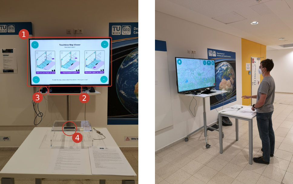
Interaction design for complex spatial datasets
In his master thesis, Tobias Stachl M.Sc. created an interactive visualization tool for global satellite-based radar backscatter data. To achieve a higher approachability of these datasets, his study focused on finding the most usable way of steering the prototype using touchless mid-air gestures to control the data presented on a large display. His prototype reached an average score of 75.75% on the System Usability Scale (SUS), even before the last iteration of improvements. His work was awarded the AGEO 2022 award for best thesis in the field of Geoinformation in Austria. You can find his work here!
AR for indoor measurement
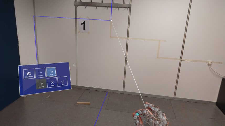
In his master thesis, Daniel Beisteiner M.Sc. compared an AR method to survey indoor pipes to traditional methods. He found only very small differences in terms of precision. In terms of hardware usability, participants preferred the AR device for over-the-head measurements.
Space-time cube
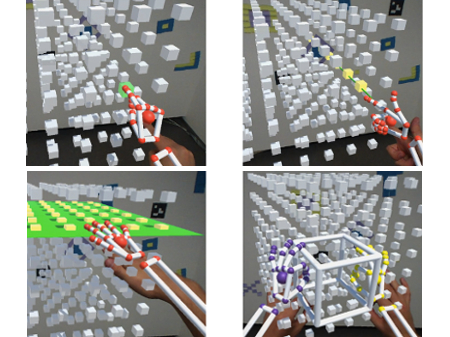
Three-dimensional displays have been investigated for a long time in our lab. Going a dimension higher, from 2D screens to 3D environments, data becomes more complex! As a consequence, interacting with that data becomes more challenging.
Selected Research Projects
Our TU Wien: Places of remembrance between Prater, Arsenal, Karlsplatz, and Getreidemarkt (fuTUreFit call, 2025-2026)
As part of this project, current TU members, alumni, and emeriti are collecting historical and current images of TU Wien locations and their associated memories as part of an internal TU citizen science project. This database will be available online as an interactive map. We develop two in-situ Augmented Reality components (one for a Head-Mounted Display, the other for smartphone devices), which bring these “personalized” spaces and their (architectural) history to life, visualizing and interacting with data about the places and buildings in-situ.
